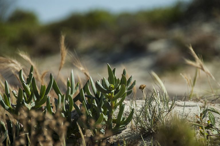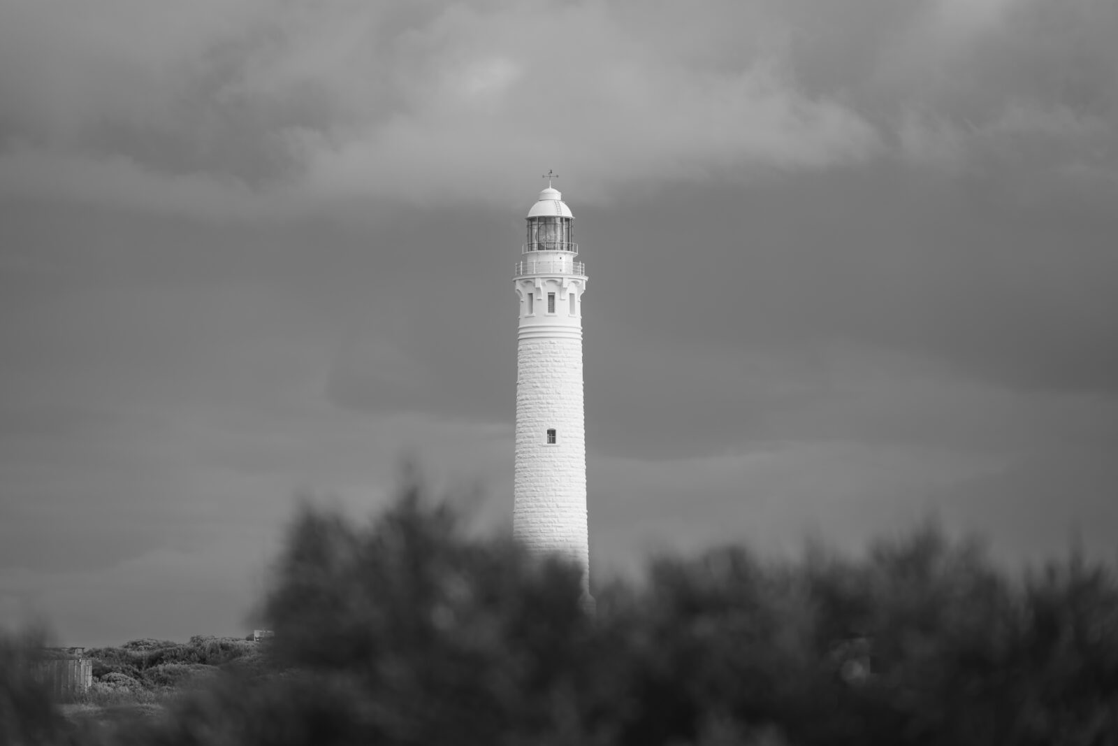

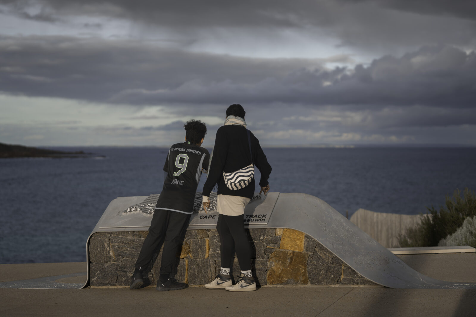
There is a place in the far south-west corner of Western Australia where the continent tapers to a dramatic edge. Ancient limestone cliffs give way to the Indian Ocean, Karri forests breathe quietly behind wind-stripped coastal heathlands, and two historic lighthouses stand sentinel at either end of one of Australia’s most celebrated walking trails.
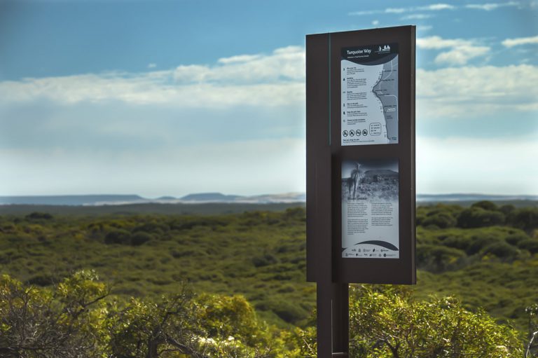
The Cape to Cape Track stretches 135 kilometres along the Leeuwin-Naturaliste Ridge, connecting the iconic lighthouses of Cape Naturaliste in the north and Cape Leeuwin in the south, the very point where the Indian and Southern Oceans meet. Walkers pass through coastal heath, magical Karri forest and woodlands to sweeping clifftop views, spectacular remote beaches, limestone caves and historic lighthouses. Tens of thousands of boots trace this route each year, drawn by the raw, elemental beauty of a coastline that feels both ancient and alive.
A Collaboration Rooted in Place
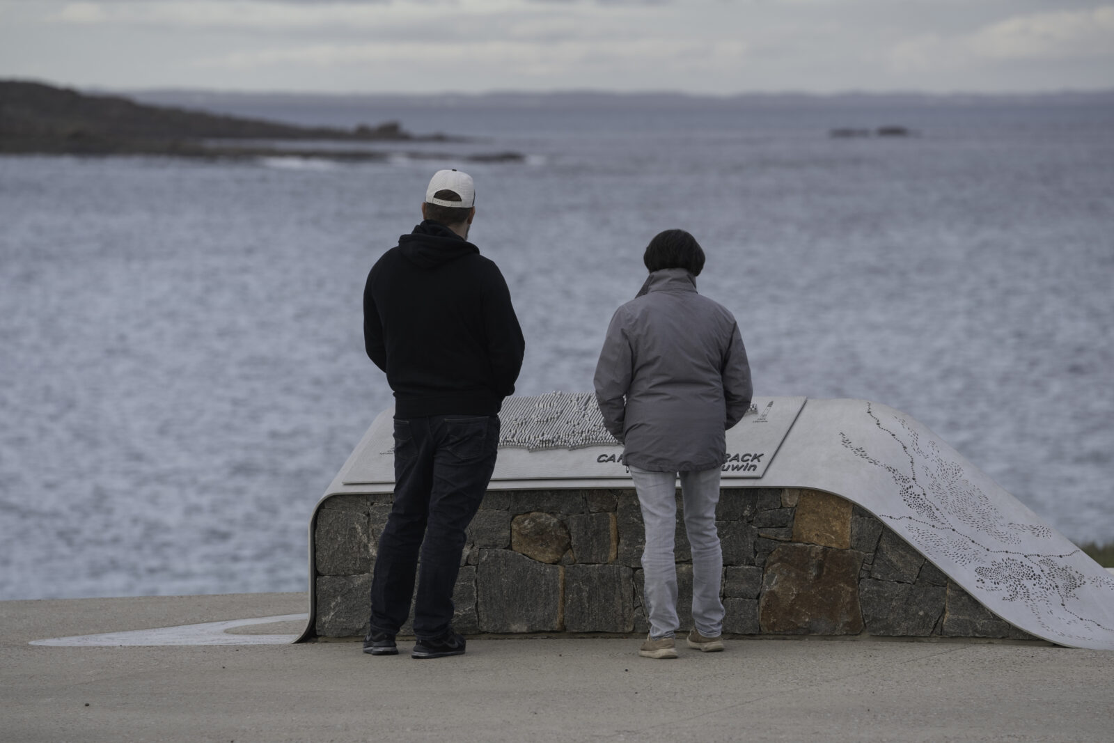
When the Department of Biodiversity, Conservation and Attractions (DBCA) embarked on a significant redevelopment of both the Cape Naturaliste and Cape Leeuwin trail heads, Publik was engaged at the design stage for a project that demanded something more than a conventional map. A visual centrepiece was requested, something that could anchor each trailhead with presence and meaning, and would speak the language of the landscape itself before a single step had been taken. The resulting maps are a collaboration between craft, geography, and story.
Reading the Landscape
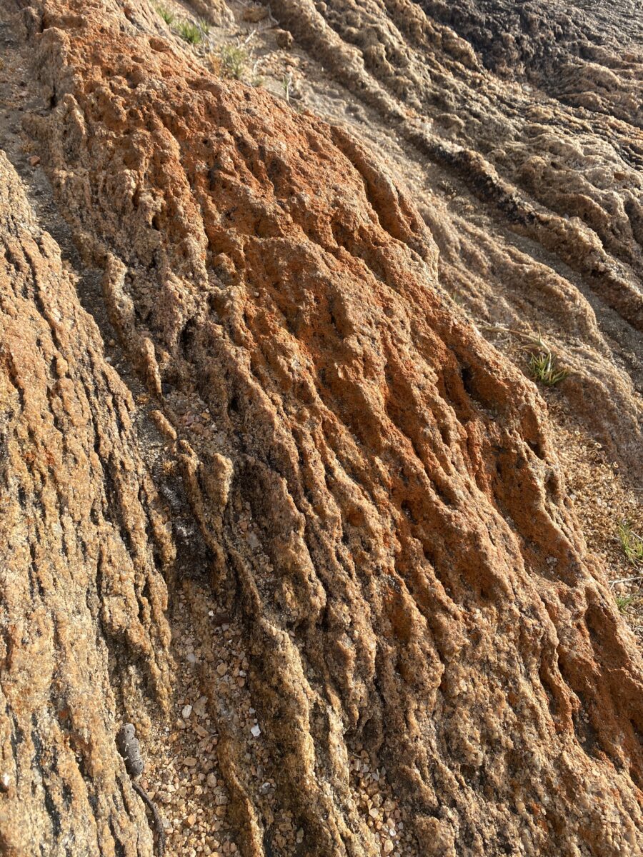
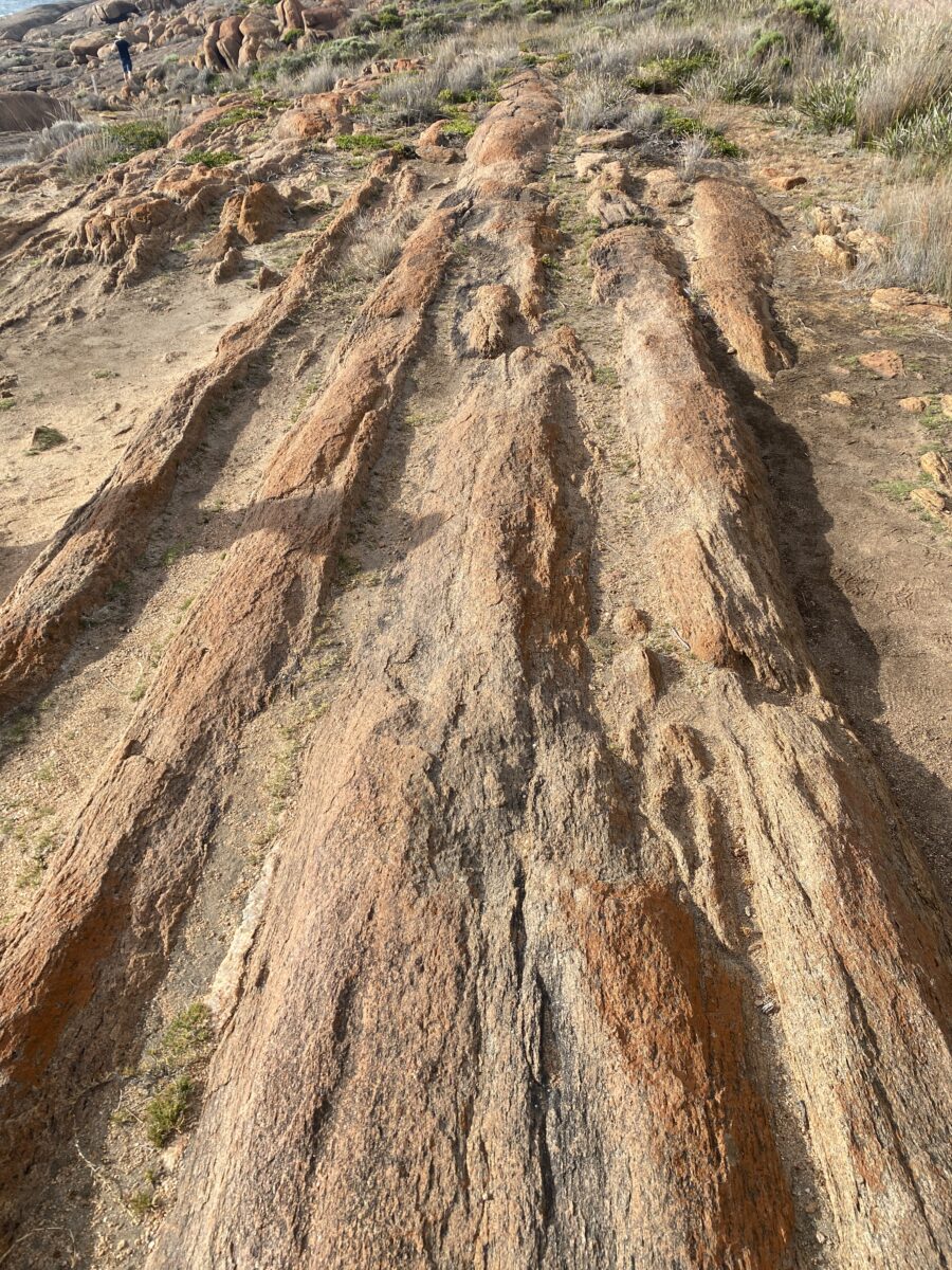
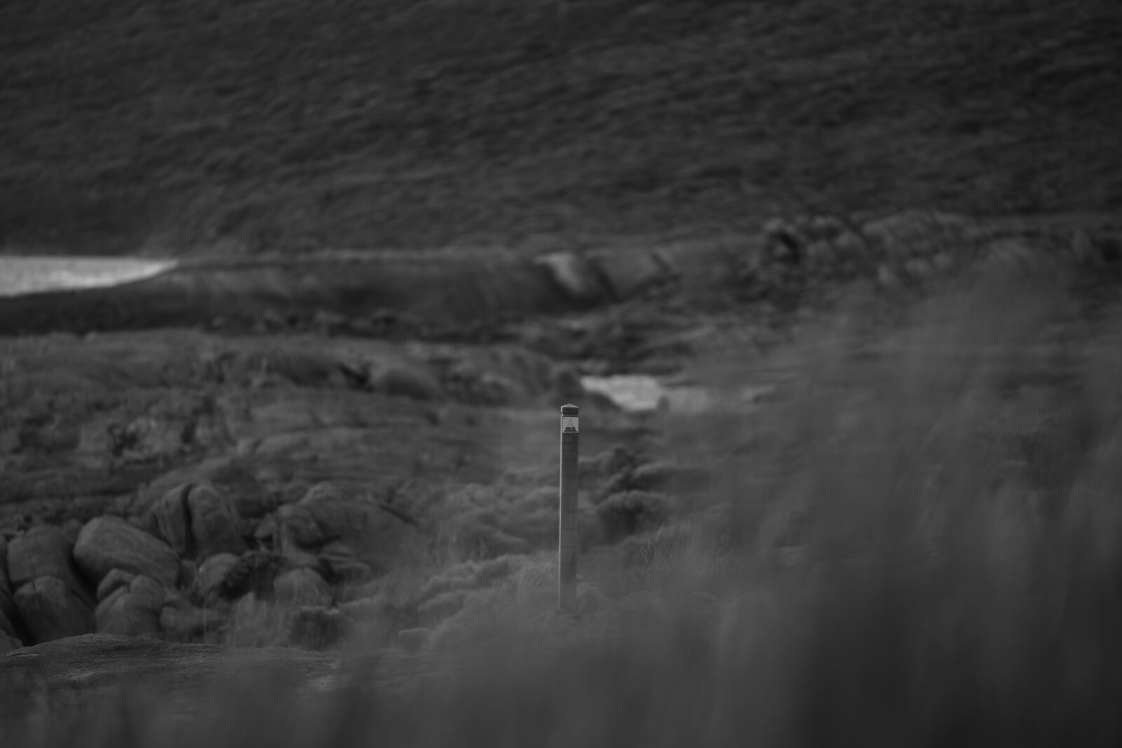
Every design begins with listening. At Cape Leeuwin and along the coastal margins of the track, the rock face tells its own story. Linear veins of eroded stone cutting through the surface in parallel striations, a record of geological time made visible by wind and salt and tide. These formations became the design language for the maps.
One Landscape, Many Levels
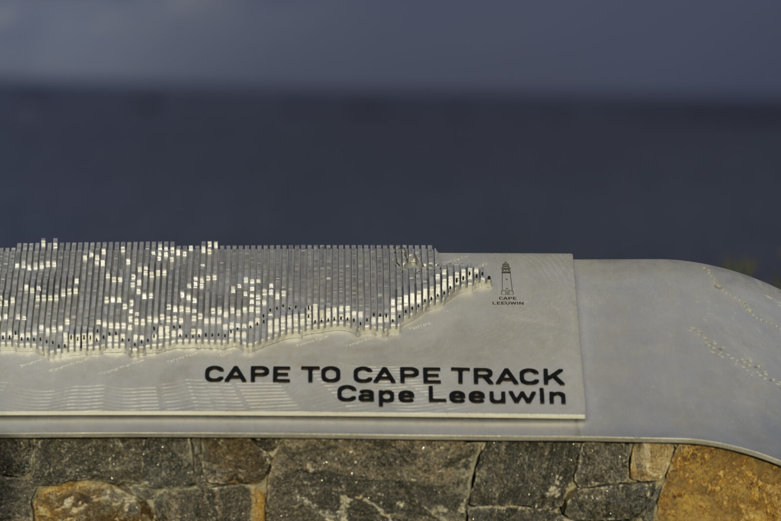
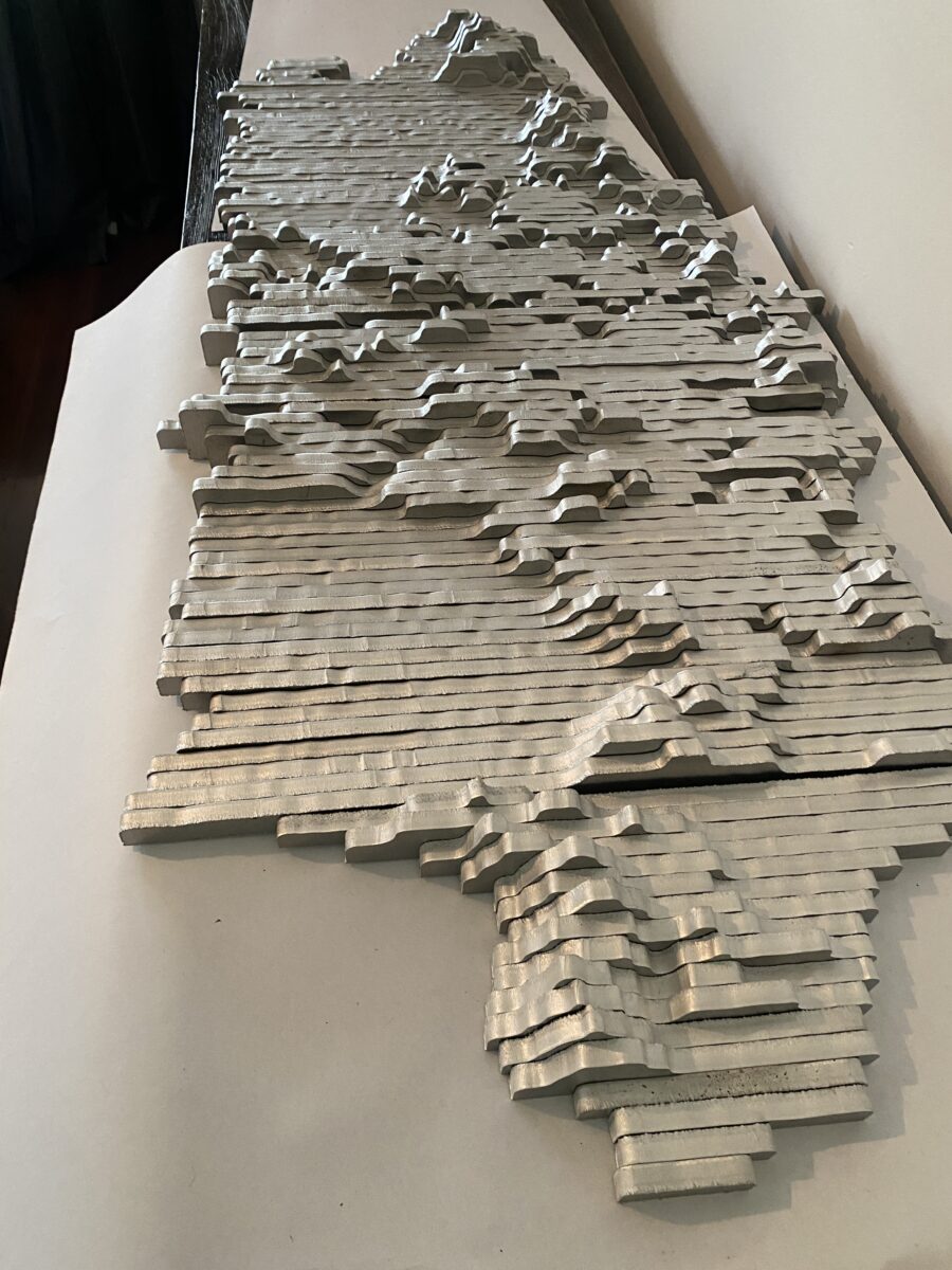
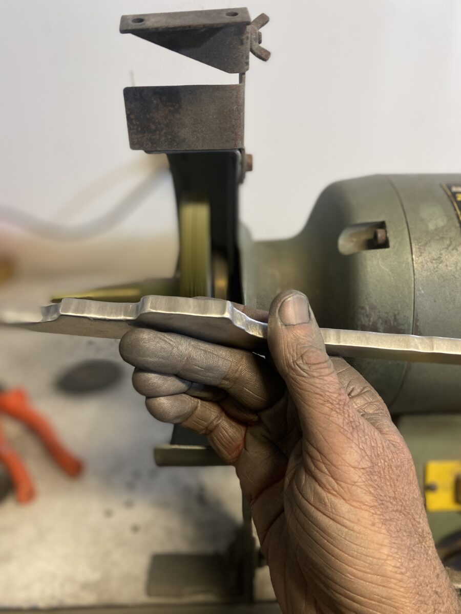
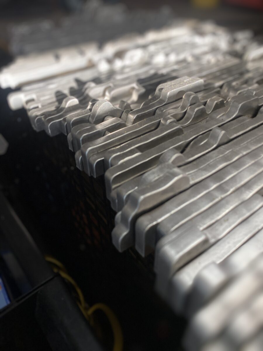
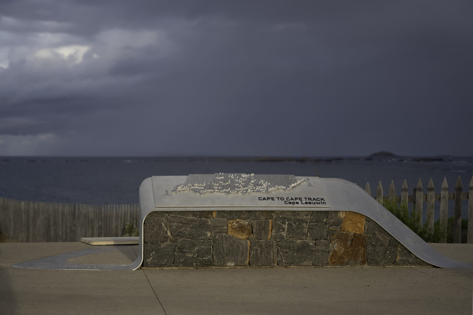
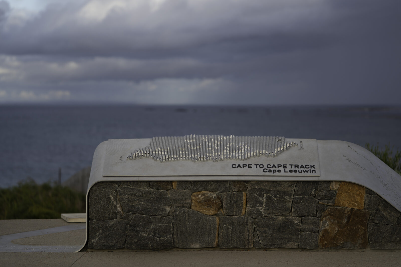
Each map is composed of 114 individually hand-crafted aluminium blades, arranged to interpret the topography of the coastal terrain between Cape Leeuwin and Cape Naturaliste. Rise, fall, headland, bay, ridge and valley, the blades rise and dip in sequence, giving visitors a tactile, three-dimensional sense of the terrain that lies ahead of them.
Running along each blade, a series of anodised pins traces the line of the Cape to Cape Track, rising and falling in alignment with the topography beneath. Where the two lighthouses stand, signalling the beginning and ending at each limit of the track. A larger pin marks the point of departure or arrival, rendering the trail not as an abstract line on a flat surface, but as a path that climbs and descends.
A Map That Speaks in Texture
The storytelling continues in the surface detail of the blades themselves. Hand-engraved textural elements across the tops of the aluminium represent the boundaries of the national parks, tracing the protected land between Cape Leeuwin and Cape Naturaliste, the human hand present in every line with no two identical marks.
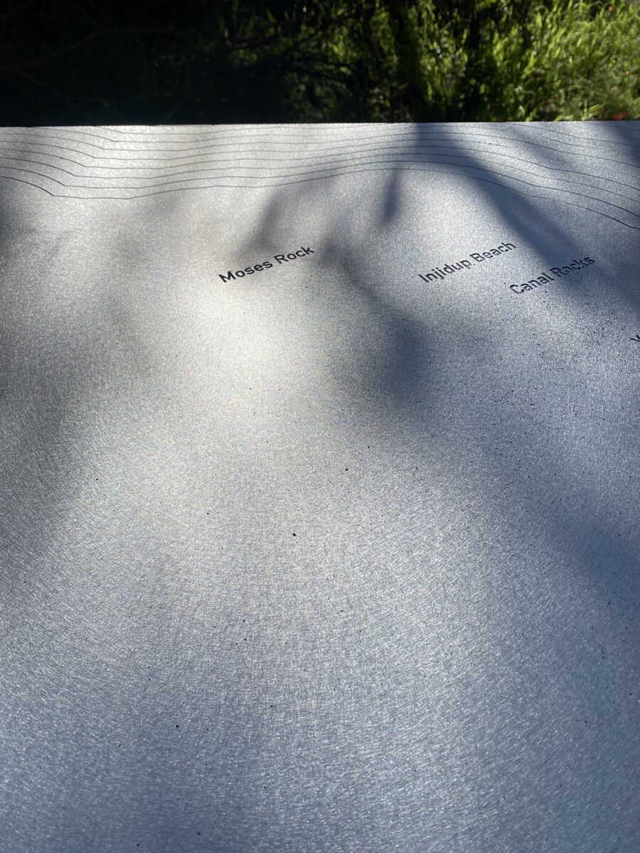
Where the land meets the sea, and marine reserve areas begin, fine engraved lines emanate outward from the coastline, forming a visual echo of water moving away from shore, depth and protection extending into the ocean beyond the track’s edge.
Along the coast, engraved place names mark the towns, landmarks and iconic points of interest that punctuate the journey. From the quiet bays and surf breaks to the celebrated destinations that draw walkers back to this stretch of coast again and again. For the hiker standing at a trailhead, about to set out or having just returned, these small engravings are both a map and a memoir.
Craft in Response to Country
The Cape to Cape maps were built by hand, shaped by place, and designed to endure. They carry the geology of Cape Leeuwin in their form, the texture of protected land in their surface, and the line of one of Australia’s great walks in every blade. They invite you to look before you walk, and to remember when you return.